

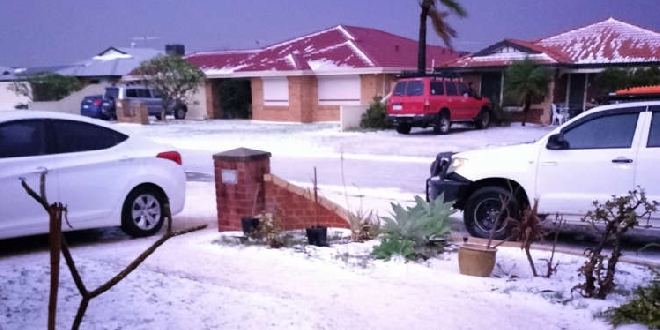
Hail, damaging winds and heavy rain has hit parts of Perth, Rockingham and Mandurah overnight.
A strong cold front swept across the the south of the state on Tuesday night, continuing into Wednesday morning.
Parts of Baldivis, Waikiki and Safety Bay resembled a winter wonderland as hail covered streets and properties.
A wind gust of 95km/h was recorded at Garden Island at 3.40am, while a gust of 111km/h was observed at Rottnest Island at 3.13am.
A severe weather warning remains for the coast between Jurien Bay and Albany.
The SES have responded to more than 130 calls for help since 2pm on Tuesday, May 28.
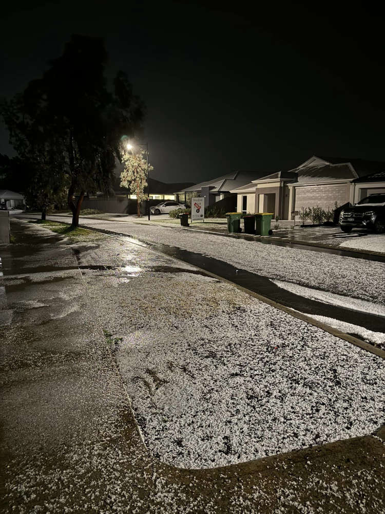
Hail in Baldivis. PIC: Lauren Newman/Facebook
Bureau of Meteorology forecaster Jessica Lingard said conditions are set to ease later today.
"Across the rest of today we are expecting some more showers and thunderstorms to continue, they will be on an easing trend though, especially as we move through into this afternoon and this evening," Ms Lingard said.
Ms Lingard said plenty of rain is forecast for the long weekend as well.
"It does look like a very wet Saturday and Sunday around the metro area and if you are heading away on holiday for the long weekend, perhaps take a glance at the forecast for wherever you're heading and make some wet weather contingency plans."
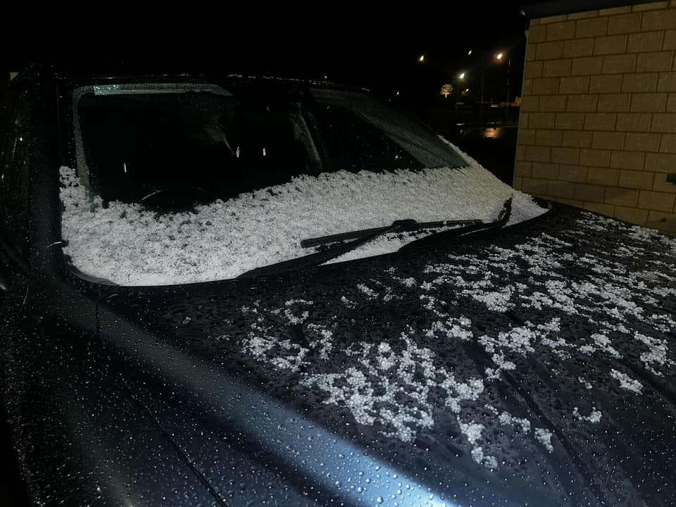
Hail in Baldivis. PIC: Alissa-Lee Pettley/Facebook
 Bushfire readiness takes centre stage at City of Kwinana's free Summer Sounds festival
 WA Open Golf Championship to tee off at Secret Harbour Golf Links
 Halls Head named WA's most persistent storm damage hotspot
 Four illegal e-bikes to be crushed after police crackdown in Halls Head, Falcon
 Aboriginal jobs and careers expo to attract 1000 attendees in Rockingham
 Firefighters attend Lakelands home after reports of thick smoke
 WA Government to ban screen use for younger students as part of six-month trial
 Singleton General Store shutdown over illicit tobacco, vape sales
 Concerns for missing Bertram woman