

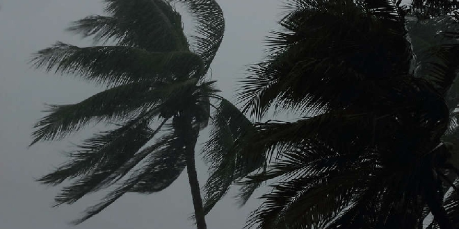
The "strongest front of the year to date" is expected to hit Perth, Mandurah and the South West today.
According to the Bureau of Meteorology, this cold front will be stronger than Sunday's, bringing with it damaging wind gusts of around 100km/h.
The severe weather is forecast to hit by the late morning and continue throughout the day into this evening.
Conditions are expected to ease overnight.
“The front that crossed on Sunday produced weather that is about typical for this time of year,” the Bureau of Meteorology warning stated.
“The front crossing on Monday is stronger, people in the southwest of WA experience fronts as windy as this about 5 times per year.
“This second front will be the strongest front of the year to date.”
On Sunday, Mandurah recorded a wind gust of 67km/h just after 2pm and Garden Island had a gust of 85km/h at 3pm.
Residents are being advised to pack away, secure or tie down outdoor furniture, trampolines and other loose items around their home that could be picked up and thrown by strong winds.
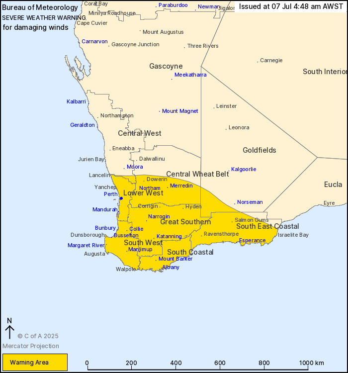
PIC: Bureau of Meteorology.
 Bushfire readiness takes centre stage at City of Kwinana's free Summer Sounds festival
 WA Open Golf Championship to tee off at Secret Harbour Golf Links
 Halls Head named WA's most persistent storm damage hotspot
 Four illegal e-bikes to be crushed after police crackdown in Halls Head, Falcon
 Aboriginal jobs and careers expo to attract 1000 attendees in Rockingham
 Firefighters attend Lakelands home after reports of thick smoke
 WA Government to ban screen use for younger students as part of six-month trial
 Singleton General Store shutdown over illicit tobacco, vape sales
 Concerns for missing Bertram woman